
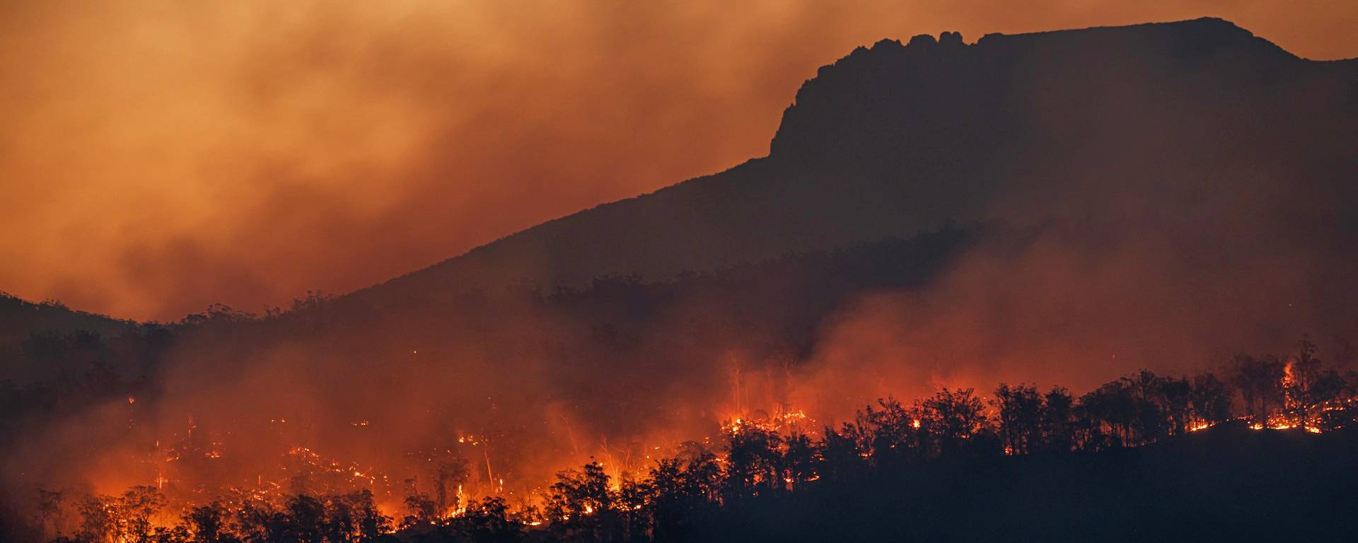
With droughts becoming increasingly frequent, the forest weather service helps us anticipate the risk of fire and adopt the right habits in our daily lives. Take a closer look at this tool for preventing fires in France, with maps and links.
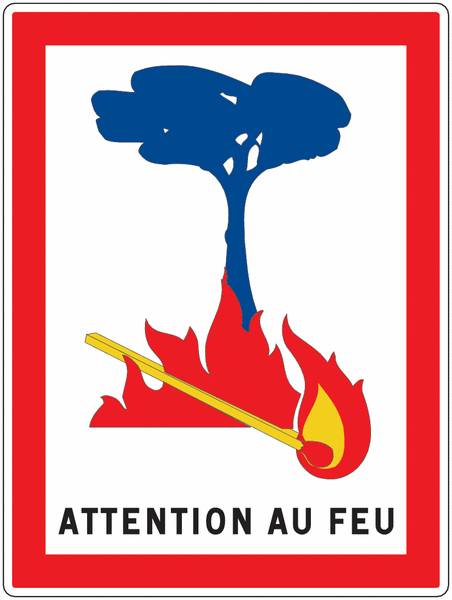
A simple indicator for understanding a complex risk
Forest weather forecasting is based on a detailed analysis of various meteorological and environmental parameters. Temperature, air humidity, wind speed, recent rainfall and the dryness of the vegetation are all factors taken into account when assessing the level of risk.
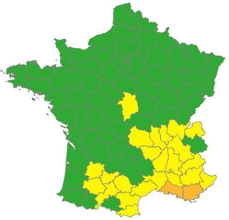
The aim is clear: to translate this complex data into information that is accessible to everyone. To this end, Météo-France provides daily maps of French regions at departmental level, enabling users to quickly identify the areas most at risk.
This approach is similar to that of traditional weather reports, but is applied here to a specific phenomenon: the spread of wildfires and the risk of fires.
- Forest weather explained in 1 minute:
Conditions conducive to fires
Certain weather conditions are particularly conducive to the outbreak and spread of fires. The following are the most critical factors among those that cause forest fires:
- High temperatures, generally above 25°C
- A strong wind, of 20 km/h or more, which flares up the flames
- Dry air, with humidity below 30 per cent
- Dry, highly flammable vegetation
When these factors combine, even the smallest fire can quickly get out of control.
A four-level alert scale
To ensure the information is immediately clear, the forest weather forecast uses a four-level danger scale with four different colours:
- Green: low risk
- Yellow: moderate risk
- Orange: high risk
- Red: very high risk
This classification enables everyone to adapt their behaviour to the local situation. It is updated daily and is available online, notably on the Météo-France website.
During periods of high or very high risk, certain activities may be restricted or even prohibited, particularly in sensitive forest areas.
A useful tool for both locals and travellers
Whether you live in a rural area, are going for a hike or are on holiday, checking the forest weather forecast is a simple habit to get into. Before heading out into the countryside, checking the risk level helps you avoid risky behaviour.
In regions that are particularly at risk, such as the south of France, this vigilance has become essential during the summer months. But beyond the areas traditionally affected, the risk of wildfires is spreading to new areas as a result of climate change. Hence the need for a national scheme that is accessible to all.
Preventing fires: simple steps
The vast majority of forest fires are caused by humans. In this context, prevention relies above all on simple measures:
- Check the danger level before heading into the forest
- Follow localguidelines and restrictions
- Never light a fire near areas of vegetation
- Do not throw cigarette ends on the ground
- Avoid using tools or equipment that may produce sparks
These precautions, whilst sometimes obvious, are nonetheless essential for minimising risks.
Knowing how to react if a fire breaks out
Despite all precautions, a fire may break out. In such cases, a swift response is crucial.
If you witness a fire breaking out, it is essential to alert the emergency services immediately by dialling 18, 112 or 114 for people with hearing impairments. The quicker the response, the greater the chances of bringing the fire under control.
It is also recommended that you do not attempt to tackle the fire on your own, except in the case of a small fire that poses no immediate danger.
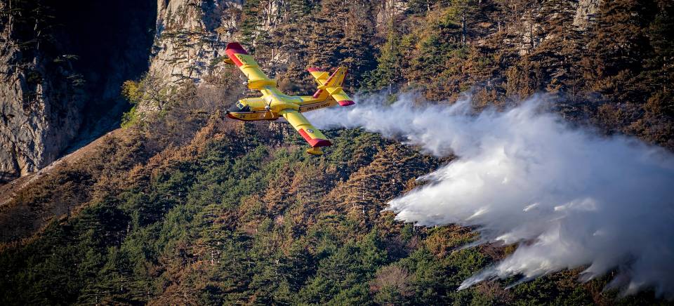
A tool to support community-based prevention
Forest weather reports are not merely a source of weather information. They form part of a wider approach to raising awareness and prevention.
By making the risk visible and understandable, it encourages more responsible behaviour. It also enables the authorities to adapt their monitoring and response measures.
At a time when wildfires are becoming more frequent and more intense, this tool is a vital means of protecting forests, landscapes and communities.
- View the forest weather forecast
The daily map and risk levels are available online on the Météo-France website. It is easy to access and allows you to find out the situation in your department in a matter of seconds and to adapt your activities accordingly:

By making this a habit, we are helping to protect our environment and preserve areas that are often fragile.
Maps of fires in France and around the world
And to keep track of current wildfires in France, Europe and around the world, here are some tools, links and maps:
Travel link