
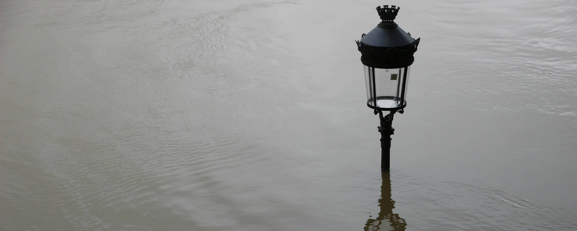
Flooding along the River Rhône is a regular occurrence, varying in intensity depending on natural rainfall throughout the seasons. What tools are available to forecast and monitor the river’s flow and rising water levels?

Floods on the River Rhône
With a catchment area covering 17% of mainland France and numerous tributaries stretching from Switzerland to the Mediterranean, water levels in the Rhône Valley rise rapidly during periods of heavy rain or snowmelt.
Added to this is the influence of the Rhône’s many tributaries, whose flow rates can increase significantly in the event of bad weather or heavy rainfall.
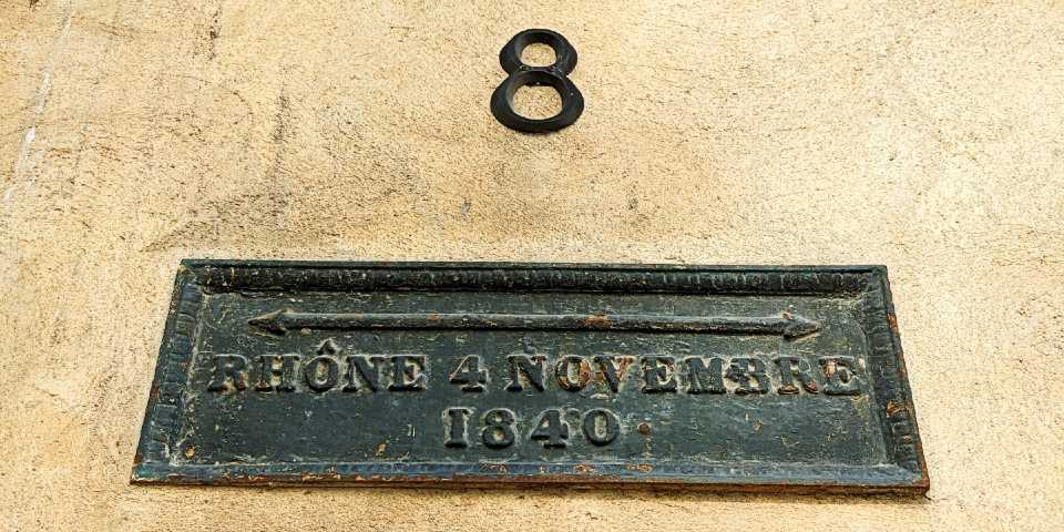
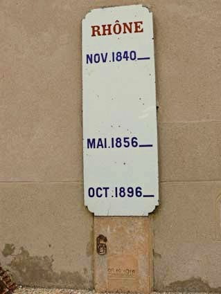
In many towns and villages along the river, plaques bear witness to the severity of past floods and the overflowing of the Rhône, events that have left a lasting impression on local communities.
Having been fully channelled since the last century, the River Rhône no longer poses a major threat to those living along its banks; although some of its occasional floods can cause significant damage, these are nevertheless kept under control by the dams built along its course.
Flood map with Vigicrues
To assess the condition of the river, Vigicrues – the flood risk information service for France’s major watercourses – allows users to view data by area, including for the Rhône and its tributaries.
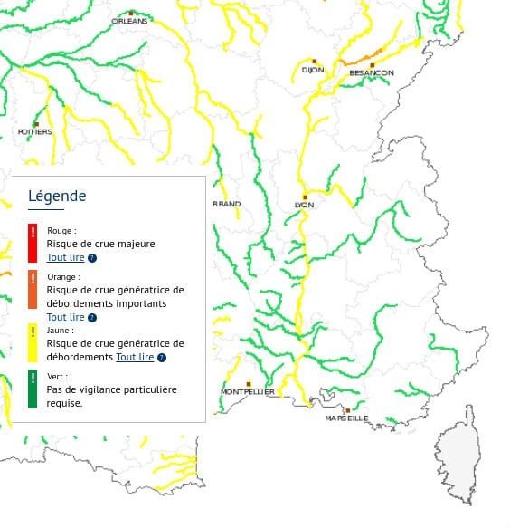
Direct access to river conditions by region
Divided into regions, the map allows you to check water levels at various gauging stations along the River Rhône and its tributaries:
- The area north of the Rhône and Saône rivers, the Upper Rhône-Saône region (Lyon area)
- The Rhône Valley to the Mediterranean, the Grand Delta region (from Valence to the Camargue)
- The Alps, including the Isère department, in the Northern Alps region (to the east, towards Italy)
For direct access to Vigicrues for one of its catchment areas:

Stories of the Rhône floods
Are you interested in the history of the River Rhône and its course?
To find out more about the floods of the River Rhône and their history, we recommend listening to the radio documentary,*Le fleuve se fâche*:
An introduction to the programme LSD and the documentary series on the use of the river by PerrineKervran↗:
The Rhône is the most heavily developed river in the world. This legendary, wild river has been transformed into a small lowland stream serving our economy.
People living along rivers have always sought to protect themselves from its fury, first through prayers and processions, and later through dykes, embankments and quays. The strategic importance of the Rhône corridor, linking Northern Europe to the Mediterranean, has made it a legendary river that has enabled people to travel and trade since before ancient times.
But to make it more navigable in all seasons and under all circumstances, it has been increasingly developed. And the power of this Alpine river has ultimately turned against it. We have sought to control it, subjugate it and harness its energy for our own benefit since the 19th century, and particularly in the post-war period and up until the 1980s.
On two occasions already, finding it impossible to breathe, he has sounded a warning and shown his anger. Today, scientists are gathered at his bedside, trying to restore the Rhône.
Travel link
- Flood Watch in France: monitoring and forecasting floods
- Interactive map of rising sea levels in France and around the world
- Major historical floods on the Rhône,Wikipedia↗
- A Century of Flooding on the Rhône: A Collector’s Perspective↗
- Destination: the Rhône Valley!
- Where to stay in the Rhône Valley?
- IGN maps, Rhône valley
- Map of river tourism on the Rhône
- Regions, cantons, départements and communes along the Rhône
- Map of the Rhône River and its tributaries
- Au fil du Rhône, RTS video report